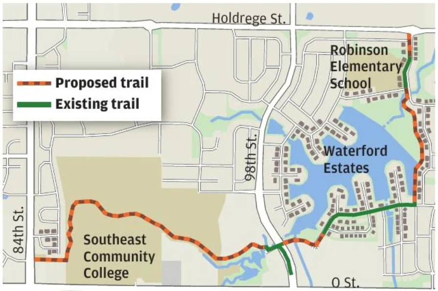
Several trails have been in the news recently. In the Lincoln Journal Star from February 24th we have a preview of the route planned for the Waterford trail around the lake. Here are a few of the takeaways from the article: It’s been planned for more than 25 years, included in the design for the development, and shown in public plans since 2018, according to Lincoln Parks and Recreation director Maggie Stuckey-Ross and Planning and Development Director David Cary. Despite this, some current homeowners who will have the trail passing between their back yards and the lake are expressing surprise. They do not apparently see it as an amenity. The lake was built and is maintained using NRD funding, which means we taxpayers support it. A piece of the trail along the south side was built when those properties were developed, but most of it is scheduled to be built next year. I’m not sure there will be public access from the trail in the green space further north on the east side of the lake, below Robinson Elementary School, but I hope so. This illustrates the challenge often present when developing trails. Like the MoPac gap. Local landowners, or even just those in the neighborhood and not directly adjacent, are sometimes opposed to the development of public rights of way and easements. What’s different about this mindset from that of The Right to Roam in England where land owners are viewed more as stewards? Those roaming are expected to be responsible ramblers. How did this difference in mindset come about? Stuckey-Ross and Cary go on to say that “Experience across Lincoln shows that fears of trespass and loss of privacy are common before trail construction but rarely translate into actual problems once trails are in place.” I think if the affected neighbors could talk to others living next to similar trails, they could feel less threatened. The article quotes city officials who say that the proposed alignment was “intentionally planned to minimize conflicts between trail users and vehicles” and the trail is “not expected to become a high-volume regional corridor.”
Speaking of conflicts between trail users and vehicles, MoPac trail users just east of the 84th St. trailhead will have to keep their heads up for more vehicles crossing the trail, as a new street now joins the neighborhoods on both sides of the trail.
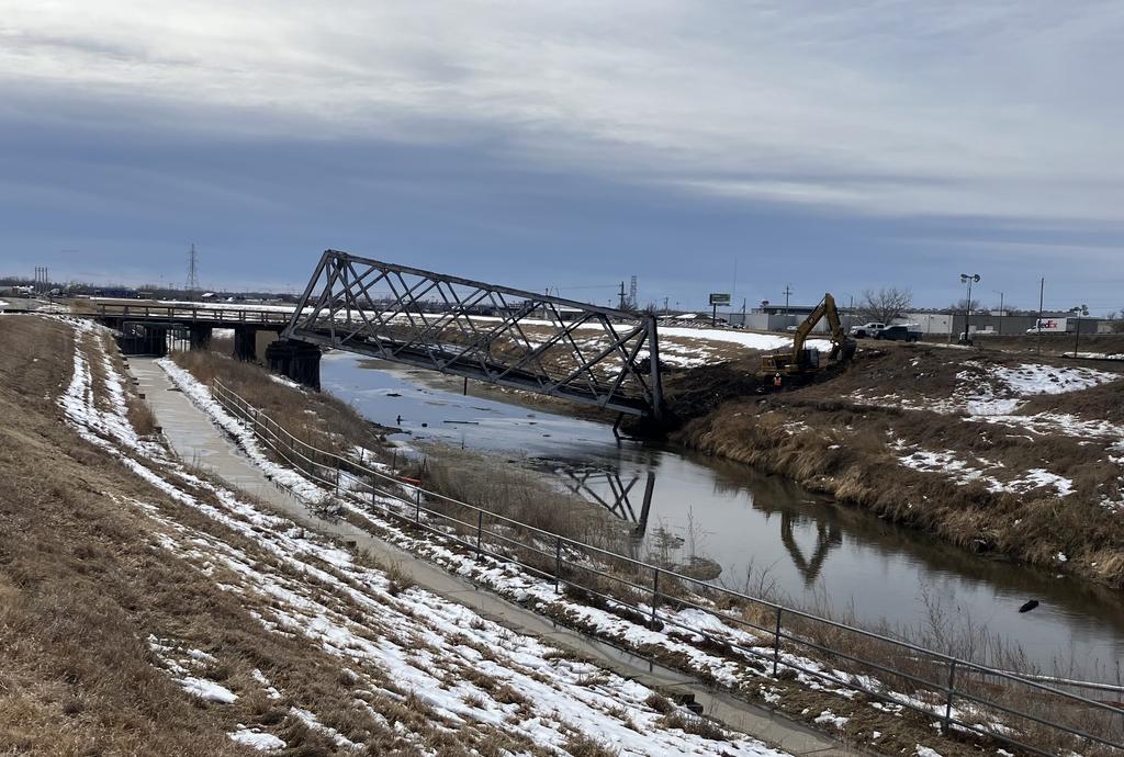
Also- I previously suggested an alternate route through the Haymarket to avoid the construction taking place while the collapsed railroad bridge west of the Haymarket along the Levee trail is being replaced. The following re-route was mentioned at that time. “The Parks and Recreation Department today announced that the paved portion of the Salt Creek Levee Trail that travels under the two railroad bridges west and southwest of the Breslow Hockey Center is now closed due to bridge damage.
Trail users must now use the limestone trail just east of the paved trail to avoid the two bridge underpasses. The trail closures are marked, and trail users are asked to watch for emergency and repair vehicles in the area.” If this route is closed, you can always go through the Haymarket.
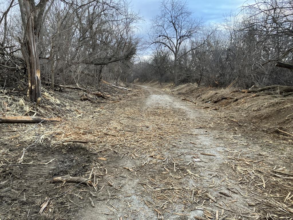
And- This is not new but is ongoing: “Parks and Recreation today announced that several trails throughout Wilderness Park will temporarily close beginning Friday, January 16, for forestry maintenance work. The trails will be closed until noon daily through March 31, and park visitors are asked to not go beyond the barricades placed across trails.
The work being done is to remove invasive trees and shrubs that have overtaken certain areas of Wilderness Park, leading to habitat loss and increased fire risk.
For trail information, visit lincoln.ne.gov/Trails.”
Did you know that Friends of Wilderness Park often hosts cedar cutting events? If you are a user of the park, you may have noticed how aggressive the cedar trees are, and how they crowd out other plants. You can earn a free membership by helping out at one of these weekend events. Keep posted at https://www.facebook.com/friendsofwildernesspark.