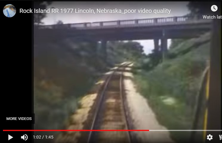
After a considerable wait, the trail through the zoo is open, or at least not closed. You may have to go around a few obstacles yet. To celebrate this event, I’ve reposted parts of a blog from several years ago about the Rock Island line through Lincoln. Also, for the first time, I’m sharing the link that was forwarded to me of a home movie (not mine) from 1977. It’s what taking the Rock Island line through the city looked like then.
https://m.youtube.com/watch?feature=youtu.be&v=QLlzoRBHW-E
You can recognize the Penny Bridges. Apparently if you slow it down to .25 speed you can follow it better.
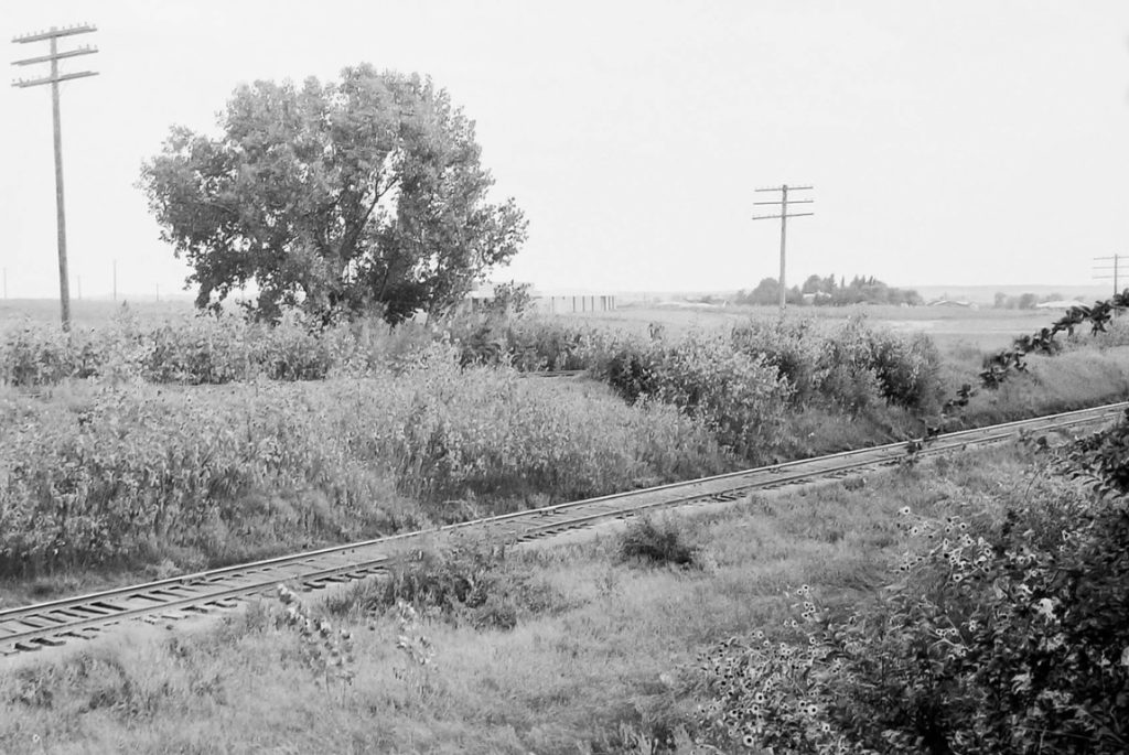
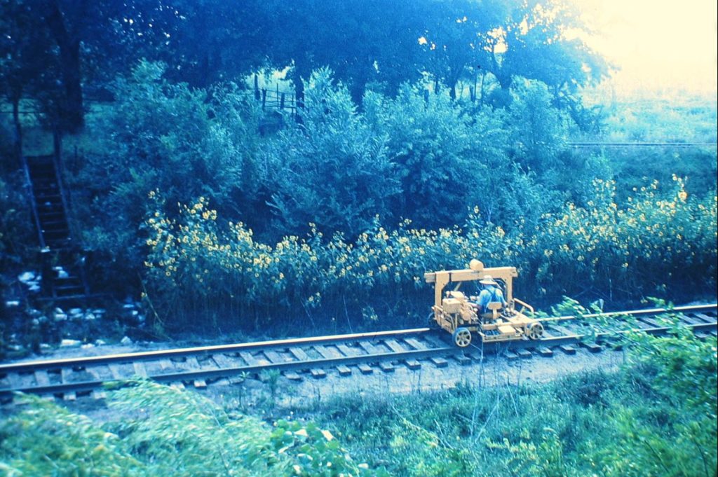
A few of you may remember when the Rock Island trail was a functioning railroad. I do have very dim memories of it since I visited extended family who lived close to the Penny Bridges with a backyard that ended almost at the tracks. I asked my cousin who still lives there what he remembered of the corridor and he recalled something quite different, not the park-like setting of today.
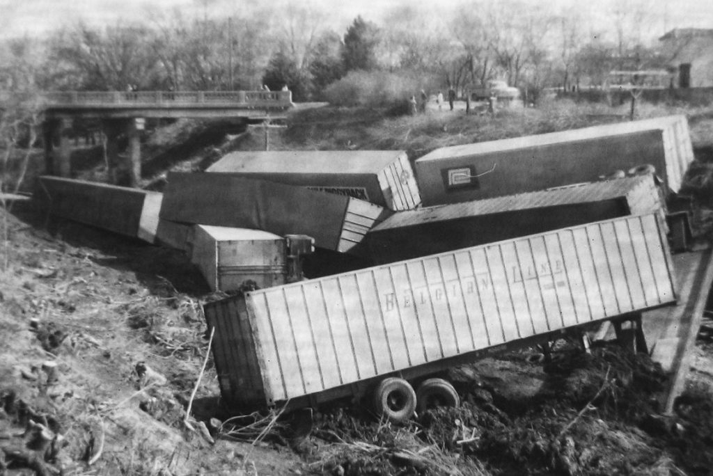
First, he remembers the thousands of frogs heard all summer. There was often standing water near the bridges, as discharge pipes from nearby buildings and parking lots emptied into the lower railway corridor. The tracks were strewn with glass and trash and kids would lay pennies on the rails to flatten them. Southeast of the bridges was an apple orchard, and continuing south, a popcorn field. Before Calvert, which was gravel and not a through street, was a railroad siding, it’s switch, and a fuel tank. Lumber for the wood shop at Union College was unloaded and trucked from there. Hobos sometimes rode the rails, and local kids would sometimes hitch rides too, unbeknownst to the conductor. In the early seventies, he thinks, was the derailment, which left new cars and household appliances strewn across the backyard.
In the area across the trail from Leon’s Market, kids in those days would dip water into cardboard milk cartons and pour it into the holes of the Franklin Ground Squirrels, which are similar to gophers, and the 13 stripe ground squirrels, who would stand up and whistle in alarm. Once flushed from their burrows, my cousins would capture one, take it home and tame it when they wanted a pet. The area south of the Penny Bridges to the west, past the wooded area, was known to have a good population of Bull snakes, and a little further down was another apple orchard. Wild asparagus was available along the tracks. South, in Bishop Heights, was the Catholic orphanage, school, and dump, which always seemed to have a fire burning. Continuing on across Highway 2, the first bridge was enclosed as it is today, but the second was not. A brave, or foolhardy, child could walk across, hoping a train was not coming. You could look down through the railroad ties to the 27th St. roadway far below.
You’ve probably ridden the trail north of South Street through Antelope Park, continuing through the tunnel under 27th and Capitol Parkway, and on to the Antelope Valley project. The old Rock Island Depot is between O and P streets on 20th. We ride up out of the valley east where it forms the beginning of the John Dietrich Trail over the Holdrege St. bridge, south of the Devaney Center. The Rock Island railway paralleled the south side of the Burlington Northern line past State Fair Park, turning east at about Seward and 48th St. The now Dietrich Trail wends it’s way through a series of parks, some created from land originally intended for the proposed Northeast Radial roadway, and along streets. At 48th St. the Dietrich becomes the Murdock trail, which is now paved to 70th St.
It continues to 112th, but the railway continued on through Prairie Home, Alvo, Murdock, and on to South Bend where it crossed the Platte. A trestle is still visible at 312th, now sadly closed to cyclists, and just south of Mynard road, . The Rock Island paralleled the Missouri Pacific, or Mopac. It would have been a great rails-to-trails project had early proponents been successful in acquiring it.
In the 1910’s my grandparents would take a horse and buggy from near Alvo, where the Rock Island line passed practically through their back yard, and ride to the Havelock Depot, where they would pick up a street car bound for Epworth Park. It’s part of Wilderness Park now, but then it was a summer camp known for it’s Chautauquas and other popular events. For that, go to the bicyclincoln.org archives and look up December of 2018.