Have you studied the proposed route? From Iowa It comes through Omaha on existing trails, for the most part, then connects to the MoPac above Springfield. The first gap is of course those eight miles from South Bend to Wabash. I like that gravel gap, but for the Great American Rail Trail, it won’t do. Finishing that gap has been on the table for many years. Hopefully it’s inclusion on the route will get it resolved. From there it takes the rest of the MoPac on into Lincoln. This creates a great opportunity to show off our bicycle amenities and increase our bicycle tourism. Those of us who are Warm Showers hosts are sure to be fielding queries for overnight stays. Then it’s on city trails to Fallbrook. Now the real work begins for the planners. Spanning that gap to Valparaiso and the beginning of the Oak Creek Trail, a lovely ride on gravel roads, is a puzzle to solve.
The Oak Creek Trail will take riders as far as Brainard. Next we’re met with another mystery connection to Columbus. After the Columbus area trail, it’s on to the last unmapped stretch to Norfolk and the beginning of the Cowboy Trail. The Cowboy Trail is by far the longest section through Nebraska. Then, near Chadron, there’s the final question of how to get through the Nebraska National Forest, where I’m sure they’ll find a beautiful solution. Going North from that area to the Mickelson Trail in the Black Hills would have been a great route, but they decided against it and their mystery route continues on to Wyoming, which has virtually no available trail to use.
Since the MoPac will be part of the Great American Rail Trail, I’ve decided to revisit a past Trail Ramblings Post on some of it’s history.
The following is from the Rails-To-Trails Conservancy website: “In 1989, the citizens of Lincoln voted 3-to-1 in favor of a bond issue to support the city’s burgeoning trail system. As an editorial in the Lincoln Journal put it, the result “reaffirms the responsible desire of Capital City residents; they want to maintain theirs as an unusually progressive and attractive community, being willing to pay for it.” Keep in mind that this was not too long after Rails-to-Trails Conservancy opened its doors in 1986 at the cusp of the rail-trail movement…It started the whole trail system in Lincoln,” says Great Plains Trails Network (GPTN) Founder Elaine Hammer of the bond initiative…In fact, Hammer and a handful of others believed in the trail’s potential so strongly that they mortgaged their own homes to help purchase the abandoned Missouri Pacific Railroad (MoPac) corridor when it came up for sale. Trail advocates had been burned a few years earlier when they were outbid by opponents in an attempt to purchase a portion of another nearby rail corridor, the Rock Island Railroad, and were determined not to lose another opportunity.” The bridge that takes the MoPac over 27th St. is named in her honor.
I very much would liked to have seen the Rock Island line become a trail too, but farmers like my parents were happy to buy back the land; the railway had always been a weedy annoyance to them. In the 1910’s a pair of hobos (an abbreviation for “homeward bound”) burglarized my grandparents’ house along the rail line while they worked in the fields. They had seen the pair walking up the the tracks before the incident. I think for land owners the idea of strangers on a trail through their property is one thing that makes it difficult to gain right-of-way, though they have much more to fear from motorists on the roads than from cyclists and hikers on trails.
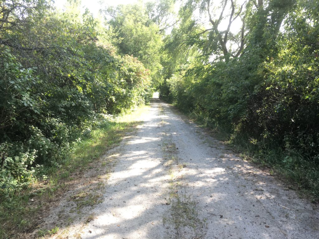
The trail does continue across the Lied Platte bridge along highway 31 to highway 50, then rejoins the old rail bed through Springfield north as far as Schram Road.
In 2002, 700 people (myself included) showed up for the opening of the Lied Bridge, the former Rock Island crossing over the Platte at South Bend. I don’t know how this number compares with it’s first opening as a railroad bridge, but this time may have been better attended. We’re still waiting for those eight miles of right-of-way from Wabash to be resolved, though I like the gravel and dirt that links the two trails.
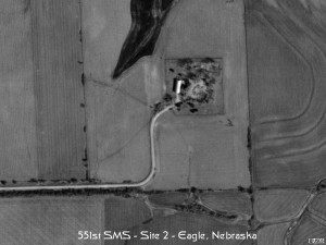
But what else existed along the MoPac? Did you know that there are two cold war era Atlas missile silos located along the MoPac on the other Side of Eagle and near Elmwood? (There are 10 more in this area.) They reach 10 stories underground and there is little trace of them left above ground, but they were busy places from 1961 until decommissioned in 1965. If you saw the movie Hidden Figures, this is the missile program blacked out in the daily updates.
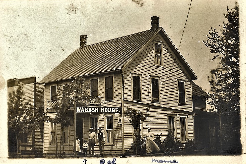
The Missouri Pacific Railroad had a daily train to Lincoln that my grandmother could take from Wabash to Lincoln in the morning and back again in the afternoon in the days when railroad travel was common and there was twice a day mail delivery (including at Epworth Park). Back in Lincoln a few years later, had you ridden what is now the MoPac trail near 56th Street, you would have passed a large turkey farm stretching almost to “O” Street, which was well outside of the city limits.
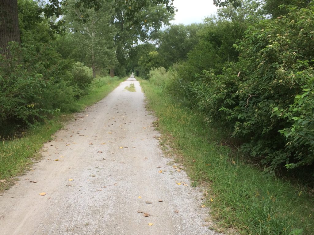
In warm weather the trail is also the location of the popular Nacho Ride to Eagle, and the Pie Ride from Eagle to Elmwood.